

 5
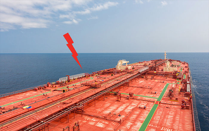
5 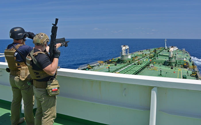 If you think the piracy and hijacking in the Gulf of Aden is dead now, you need to think again.
Yes, it has declined considerably but it still exists. And the pirates are looking for a window to strike again.
Blaming illegal fishing trade in Somalian waters, Somalis are considering the piracy again.
The recent hijacking incident in this area was as early as in March 2017.
On 13 March 2017, M/V Aris 13 came under attack from two skiffs and was taken hostage.
When sailing in these areas, we cannot let our guards down.
Good news is that with little preparation and by following the developed guidelines, the risk reduces considerably.
In this post, we will discuss the entire procedures of transit through this high-risk area.
But before we begin, let us understand these terms.
High-Risk area
The high-risk area has been designated based on the pirate's activities and areas where most of the attack took place.
This is the area where it is considered that there is a higher risk of piracy.
This high-risk area is bounded by
In the Red sea: Area south of Latitude 15 N
In the Gulf of Oman: Area south of Latitude 22 N
Eastern Limit: Area west of Longitude 65 E
Southern Limit: Area North of Latitude 5 N
The Admiralty chart Q6099 is the guidance chart for these areas...
If you think the piracy and hijacking in the Gulf of Aden is dead now, you need to think again.
Yes, it has declined considerably but it still exists. And the pirates are looking for a window to strike again.
Blaming illegal fishing trade in Somalian waters, Somalis are considering the piracy again.
The recent hijacking incident in this area was as early as in March 2017.
On 13 March 2017, M/V Aris 13 came under attack from two skiffs and was taken hostage.
When sailing in these areas, we cannot let our guards down.
Good news is that with little preparation and by following the developed guidelines, the risk reduces considerably.
In this post, we will discuss the entire procedures of transit through this high-risk area.
But before we begin, let us understand these terms.
High-Risk area
The high-risk area has been designated based on the pirate's activities and areas where most of the attack took place.
This is the area where it is considered that there is a higher risk of piracy.
This high-risk area is bounded by
In the Red sea: Area south of Latitude 15 N
In the Gulf of Oman: Area south of Latitude 22 N
Eastern Limit: Area west of Longitude 65 E
Southern Limit: Area North of Latitude 5 N
The Admiralty chart Q6099 is the guidance chart for these areas...
Join now to access this article and much more.
Admin has placed this article behind a paywall, making it accessible only with a paid membership, which offers numerous perks:
- Contribute to creating a platform for reading and writing without ads.
- Enjoy all content here, including exclusive articles for members.
- Gain access to all exclusive articles for members.

About Capt Rajeev Jassal
Capt. Rajeev Jassal has sailed for over 24 years mainly on crude oil, product and chemical tankers. He holds MBA in shipping & Logistics degree from London. He has done extensive research on quantitatively measuring Safety culture onboard and safety climate ashore which he believes is the most important element for safer shipping.


Comments (5)